Aboriginal heritage
The Darramuragal people
The Darramuragal or Darug people have been in this area for thousands of years, long before the arrival of European settlers.
Living mostly along the foreshores of the harbour, they fished and hunted in the waters and harvested food from the surrounding bushland.
They spent much of their time developing a rich, complex culture that included a distinctive language, customs, spirituality and law - the heart of which was their connection to the land.
Kinship with the land
The Aboriginal lifestyle was based on total kinship with the natural environment.
Wisdom and skills obtained over millennia enabled them to use their environment for maximum benefit.
Acts such as killing animals for food or building a shelter were steeped in ritual and spirituality and carried out in balance with their surroundings.

Towards a Net Zero Ku-ring-gai
Indigenous peoples play a key role in Australia’s response to the climate crisis, with deep-time knowledge of the land and water and managing the land through cultural burning. Our communities continue to draw on and apply this long history of knowledge to help us meet the challenges of reducing our energy, waste and transport emissions.
Visit Net Zero Ku-ring-gai and discover how we're supporting you to create a healthy, efficient home.
Indigenous weather knowledge
Time of Burran
January-March Gadalung Marool—hot and dry
The behaviour of the male kangaroos becomes quite aggressive in this season and it is a sign that the eating of meat is forbidden during this time. This is a health factor; because of the heat of the day meat does not keep and the likelihood of food poisoning is apparent.
The blooming of the Weetjellan (Acacia implexa) is an important sign that fires must not be lit unless they are well away from bushland and on sand only and that there will be violent storms and heavy rain, so camping near creeks and rivers is not recommended.
The BOM Indigenous Weather Knowledge Calendar was launched in 2002 as a joint partnership between the Bureau, the Aboriginal and Torres Strait Islander Commission (ATSIC) and Monash University's Centre for Indigenous Studies. The website is a formal recognition of traditional weather and climate knowledge that has been developed and passed down through countless generations by Aboriginal and Torres Strait Islander people. *Permission to use the D'harawal seasonal calendar is granted by the D'harawal Traditional Knowledgeholders' and Descendents' Circle.
Gambay first languages map
This interactive map has been developed by First Languages Australia to display and promote the diversity of Aboriginal and Torres Strait Islander languages. Gambay translates to "together" in the Butchulla language of the Hervey Bay region in Queensland. Showcasing over 780 languages, it uses data contributed by regional language centres and programs working directly with language communities around Australia.
Explore the Gambay map now
Plant knowledge
Research Fellow, Zena Cumpston is a Barkandji woman forging a new path to connect individuals, schools, kinder and community groups with Aboriginal perspectives on plants. Her latest FREE book is available online and will take readers on a journey to grow and explore Indigenous plants. It even has printable labels for your garden.
Download FREE booklet now
Aboriginal sites
In metropolitan Sydney, there are close to 6500 Aboriginal sites, including rock art, shell middens, axe grinding grooves, ceremonial grounds, burial sites, stone quarries, fish traps and water holes. All sites are significant to Aboriginal people because they are evidence of the past Aboriginal occupation of Australia and are valued as a link with their traditional culture.
Newly discovered
In 2019, work led by six local councils and the Aboriginal Heritage Office (AHO) has resulted in two previously unrecorded rock art sites being rediscovered in Ku-ring-gai. The sites have now been verified as authentic and are in relatively good condition.
Red-hand stencils
Both shelters have these, which were created by the original custodians mixing ochre and water and sometimes blood together into a pigment that is sprayed with the mouth, over a hand that then becomes a negative imprint on the rock. It provides a very intimate connection between someone in the past and the present.
Rock art
The AHO and specialists from the NSW Office of Environment and Heritage recently removed graffiti from an important rock art shelter. The shelter is sometimes used by rock climbers for challenging ceiling climbs and there is a considerable amount of chalk left behind near the rock art. This site is outside of Council’s designated climbing areas and will continue to be monitored.
Rock art and midden sites
Click here for a 360º virtual tour of Aboriginal rock art and midden sites
Caring for sites
These sites are under threat every day from development, modern-day usage, vandalism and natural erosion. Once they are destroyed, they are gone forever. Some of the sites located in Ku-ring-gai are still in remarkable condition and are an important part of our history. All Aboriginal heritage sites are protected under state and federal law.
If you would like to know more about the AHO or the Volunteer Site Monitoring Program, visit the AHO website.
Aboriginal Heritage Office
Council is a member of the AHO, located in Freshwater, which preserves and protects over 1000 Aboriginal heritage sites across the North Shore. The AHO also studies Aboriginal life before colonisation and runs a series of educational walks and talks for school groups and the general public.
Get involved:
- The Education Centre and Keeping Place: Everyone is welcome, including school and community groups.
- Schools: Free presentations, walks, talks and other activities are available for schools within a partner Council boundary, subject to staff availability. (Year 3 upwards).
- Community Walks and Talks: These are all catered for by AHO staff. Whether it is an Aboriginal site tour, a bush tucker walk or a women only event, the AHO can assist.
- Staff training: There are specific courses for outdoor staff, planning and assessment staff, volunteer site monitors and others.
- Site protection: Assists Councils and residents in efforts to protect Aboriginal sites. This includes strategic planning issues, DA referrals and conservation.
Aboriginal Heritage Office Annual Report 2021-2022 Part 1(PDF, 5MB)
Aboriginal Heritage Office Annual Report 2021-2022 Part 2(PDF, 3MB)
Aboriginal Heritage Office Annual Report 2021-2022 Part 3(PDF, 1MB)
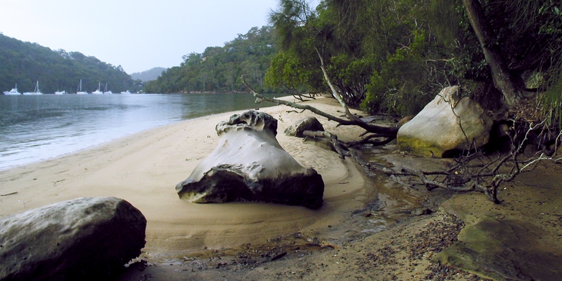
Bushwalks
Ku-ring-gai Chase National Park offers excellent examples of local Aboriginal heritage with a variety of different sites. The Aboriginal Heritage Walk, on West Head, offers visitors a unique look into past culture over a 2.5-hour loop trail.
For more detailed information you can read the Aboriginal Heritage and History within the Ku-ring-gai Local Government Area(PDF, 1MB).
Aboriginal Heritage Sights and Sounds - Northern Sydney
Connect with country online
The rich Aboriginal cultural history can now be accessed through a series of maps and immersive videos filmed throughout Ku-ring-gai Chase National Park. The project also includes a new interpretative walk along the Gibberagong Walking Track. Created by NSW National Parks and Wildlife Service,
explore online now.